
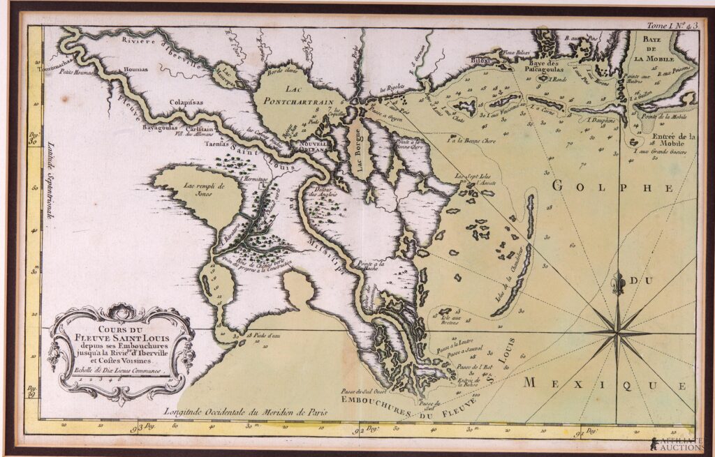
An original 18th-century hand-colored copperplate engraved map titled Cours du Fleuve Saint Louis depuis ses Embouchures jusqu’a la Riviere d’Iberville et Costes Voisines, published in Paris in 1764 by Royal Hydrographer Jacques-Nicolas Bellin for Le Petit Atlas Maritime (Vol. 1, No. 43). Capturing the Lower Mississippi River Delta and the Gulf Coast from Lake Salvador to Mobile Bay, this important colonial-era map details early French Louisiana, including New Orleans, Lake Pontchartrain, nautical soundings along coastal waterways, and the documented locations of regional Native American tribes including the Colapissas, Houmas, Bayagoulas, and Tensas. Plate measures approximately 8.5 x 14 inches.
Condition: Displays age-appropriate paper toning, minor margin handling wear, and faint creasing along original fold lines as issued.